
Map
More from Minneapolis Skyline Photography

LPM Apartments Rising Above Loring Park in Minneapolis
The Minneapolis skyline rises beyond Loring Park, where a construction crane marks the site of the LPM Apartments, a 36-story…

Golden Light Over Minneapolis Skyline From Stone Arch Bridge
The Stone Arch Bridge, a historic 2,300-foot-long stone arch bridge spanning the Mississippi River in Minneapolis. Constructed in 1883, it…
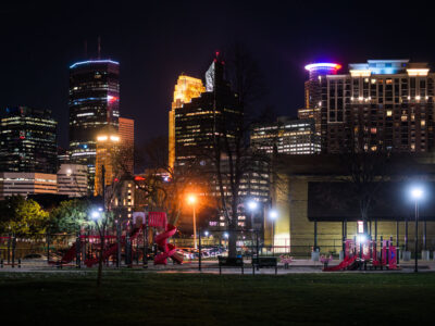
Franklin Steele Square park in Minneapolis
Downtown Minneapolis as seen from Franklin Steele Square park in South Minneapolis.

Minneapolis Skyline Over Kenwood in Peak Fall Color
A wide aerial view looks east toward the Minneapolis skyline, rising above the dense canopy of the Kenwood and Lowry…

Downtown Minneapolis Skyline from the Dinkytown Greenway
The Dinkytown Greenway is a paved bike and pedestrian trail built along a former Burlington Northern rail line, running beneath…
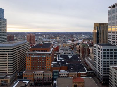
Downtown Minneapolis from Marquette Ave, March 2014
This photograph presents a view of downtown Minneapolis, taken from Marquette Avenue in March 2014.
Nearby Photos