
Map
More from Minneapolis Uprising – May 2022

Lake Street USPS Station Construction Site, Minneapolis
Construction is underway at the Lake Street Station USPS post office in Minneapolis, following its destruction by fire during the…

Minneapolis US Bank Vault After George Floyd Uprising
The interior of a fire-damaged U.S. Bank vault in Minneapolis, Minnesota, following the civil unrest that occurred after the murder…

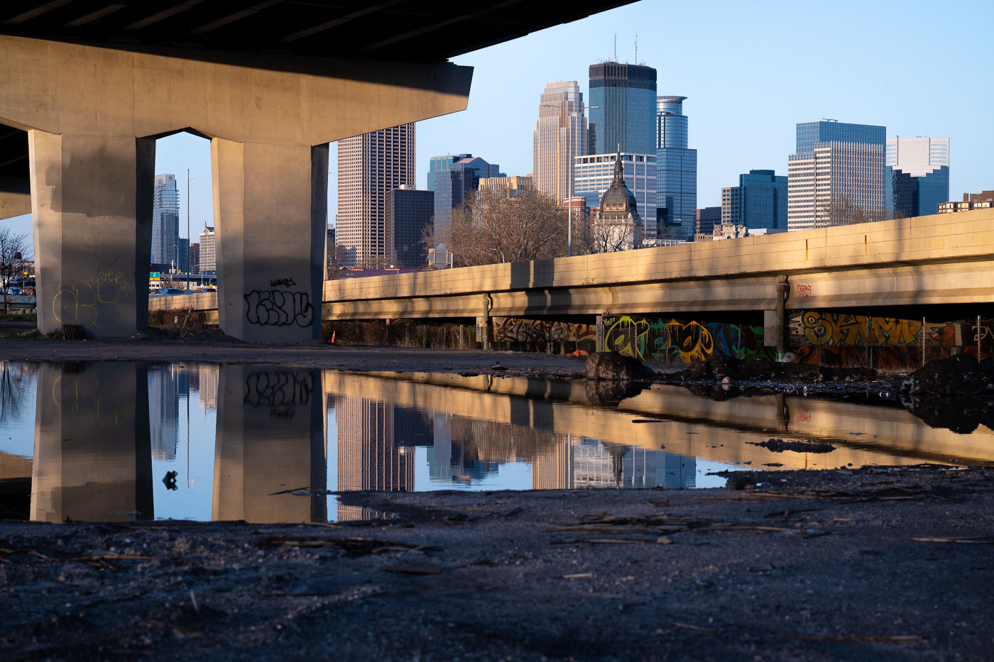
Minneapolis Downtown Skyscrapers at Dusk, May 2022
The Minneapolis skyline is illuminated by the setting sun in May 2022. These buildings, along with others, form the central…

George Perry Floyd Square sign at Chicago Ave and E 38th St
A street sign marks the intersection of Chicago Avenue and East 38th Street as George Perry Floyd Square. This designation…
Minneapolis: "Weak Mayor" and "Don't Rank Frey" Stickers
Stickers critical of Minneapolis Mayor Jacob Frey are affixed to a railing. One sticker reads "WEAK MAYOR" with the website…

Minneapolis Skyline from Bde Maka Ska, May 2022
The Minneapolis skyline is visible across Bde Maka Ska, a prominent lake in the city's chain of lakes. The lake,…
Nearby Photos


