
Map
More from Superior National Forest

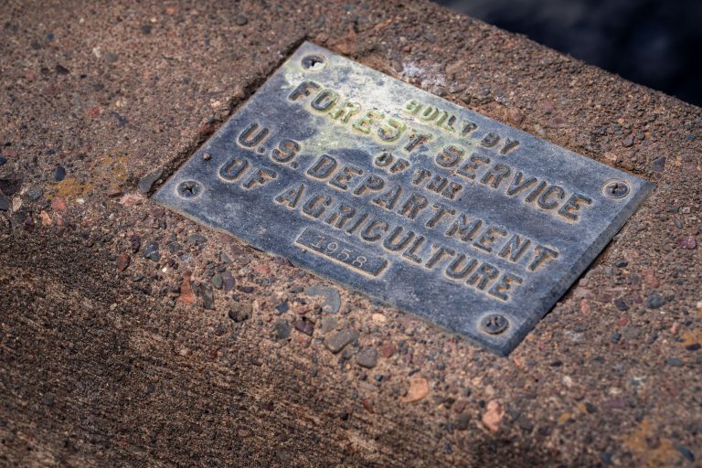
1958 Forest Service Bridge Plaque, Superior National Forest
The U.S. Forest Service, part of the Department of Agriculture, builds and maintains bridges, culverts, and other infrastructure across the…
Island River Sunset, Superior National Forest
Island River in Minnesota’s Superior National Forest at sunset. Dark storm clouds hang over the wetland landscape while the low…

Foggy Road in Superior National Forest, Minnesota
A gravel road winds through the dense coniferous forest of Superior National Forest near Isabella, Minnesota. Signs indicate Route 172…

Railroad Logging sign in the Superior National Forest
RAILROAD LOGGING This road bed was used for railroad logging from 1898 to 1938. During this boom period, Minnesota had…

Fall Colors Along the Arrowhead Trail, Cook County
The Arrowhead Trail runs roughly 27 miles north from Minnesota Highway 61 at Hovland to South Fowl Lake on the…
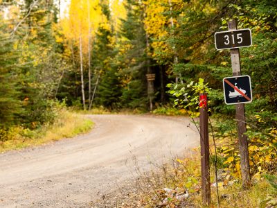
315 sign at Lima Grade at Gunflint Trail, Grand Marais
Lima Grade Road at the Gunflint Trail in Grand Marais, Minnesota.
Nearby Photos