Lake of the Isles Ice Fishing
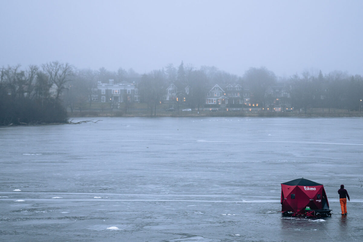
Ice fishing on the Lake of the isles on an unusually warm December evening.
Explore photos tagged Fog.

December 2024 — Ice fishing on the Lake of the isles on an unusually warm December evening.

December 2024 — A man walks his dog on The Mall on a a unusually warm late December night.

December 2024 — Lagoon and Hennepin in Uptown Minneapolis on a a unusually warm late December night.

December 2024 — Nicollet and Franklin Avenue during an unusually warm late December night.

June 2024 — Yet another night of rainy weather in Minneapolis. This time with a touch of fog covering the tops of the downtown buildings.

January 2024 — North 1st Avenue in Downtown Minneapolis on a foggy warm January night in 2024.

January 2024 — Foggy night on 2nd Avenue North in Downtown Minneapolis

February 2023 — Foggy night with construction cranes in Downtown Minneapolis.

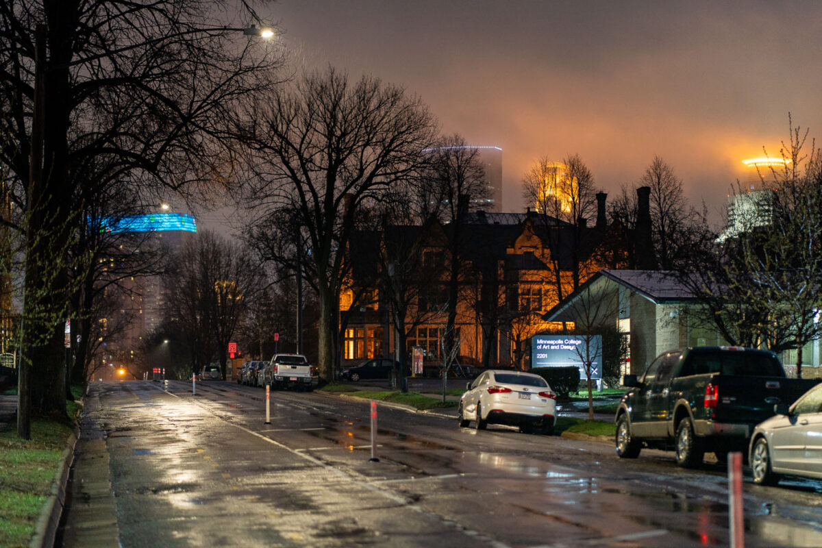
April 2022 — 1st Ave. S in Minneapolis on a rainy night.

September 2021 — September fog and the Minneapolis City Hall clock tower in Downtown Minneapolis.

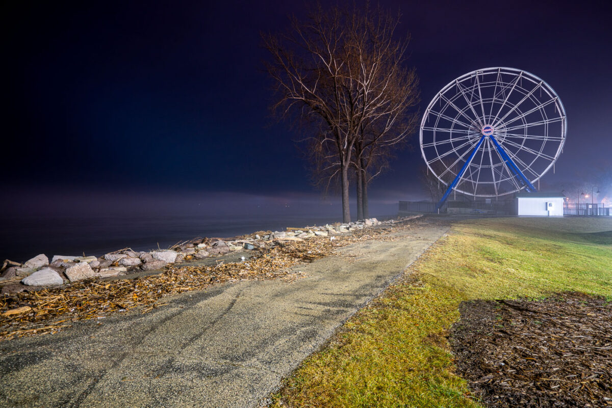
December 2019 — Ferris Wheel at Bay Beach Amusement Park in Green Bay, Wisconsin on a foggy December evening.

December 2019 — A foggy morning at Lambeau Field, the home of the Green Bay Packers.

September 2019 — A foggy night in downtown Minneapolis with IDS Center in the background with Xcel Energy Headquarters in the foreground.

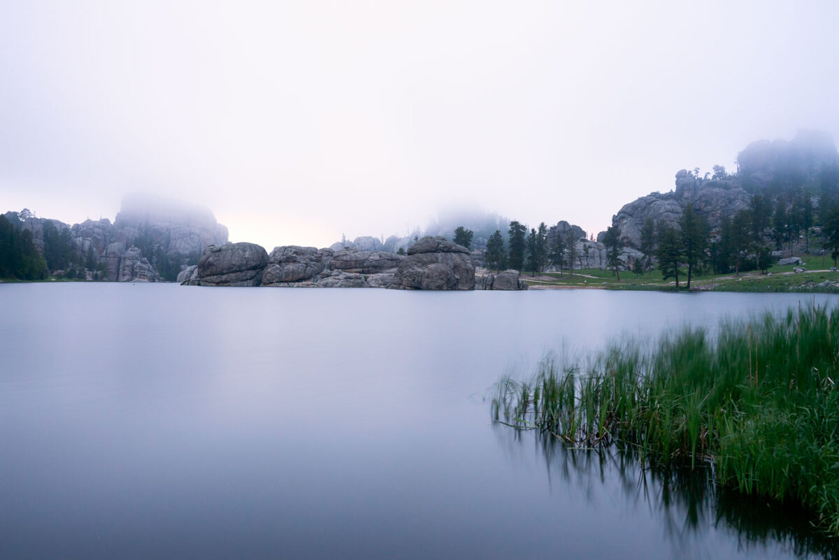
July 2019 — Early morning fog drifts across Sylvan Lake in the Black Hills of South Dakota, softening the granite spires and reflecting still light off the water’s surface. Created in 1891 by Theodore Reder’s dam, the lake sits at the head of the scenic Needles Highway and is surrounded by granite formations that attract climbers, photographers, and hikers. On this mist-covered morning, visibility narrows to the immediate shoreline, turning the familiar outcrops into shadowed silhouettes. The calm water and diffused light capture a rare quiet moment in one of Custer State Park’s most iconic and photographed landscapes.
Ice fishing on the Lake of the isles on an unusually warm December evening.
A man walks his dog on The Mall on a a unusually warm late December night.
Lagoon and Hennepin in Uptown Minneapolis on a a unusually warm late December night.
Nicollet and Franklin Avenue during an unusually warm late December night.
Yet another night of rainy weather in Minneapolis. This time with a touch of fog covering the tops of the…
North 1st Avenue in Downtown Minneapolis on a foggy warm January night in 2024.
Foggy night with construction cranes in Downtown Minneapolis.
September fog and the Minneapolis City Hall clock tower in Downtown Minneapolis.
Ferris Wheel at Bay Beach Amusement Park in Green Bay, Wisconsin on a foggy December evening.
A foggy morning at Lambeau Field, the home of the Green Bay Packers.
A foggy night in downtown Minneapolis with IDS Center in the background with Xcel Energy Headquarters in the foreground.
Early morning fog drifts across Sylvan Lake in the Black Hills of South Dakota, softening the granite spires and reflecting…
At the summit of Black Elk Peak, low clouds roll through the granite spires and dense pine forest below, wrapping…
Low clouds sweep across the granite pinnacles of the Cathedral Spires in the Black Hills of South Dakota, wrapping the…
Horseback riders navigate a mist-covered trail near the summit of Black Elk Peak in South Dakota’s Black Hills. The fog…
A narrow trail winds through the fog-drenched forest of Black Elk Peak, South Dakota, as light rain dampens the granite…
A dense fog envelops the granite summit area of Black Elk Peak, the highest natural point in South Dakota at…
A mist-laden trail winds through the ponderosa pine forest near the summit of Black Elk Peak in the Black Hills…
A dense morning fog envelops the Ponderosa pines of the Black Hills in South Dakota, softening the outlines of the…
The illuminated Minneapolis skyline rises behind a fog-covered Bde Maka Ska, its towers mirrored in the lake’s still surface. Buildings…
Snow surrounding a bench in Father Hennepin Bluff Park in Northeast Minneapolis.
Juniper Campground at Theodore Roosevelt National Park in North Dakota.
The sandstone bluffs of St. Paul, Minnesota with a foggy Mississippi River.
The historic Stone Arch Bridge over the Mississippi River in Downtown Minneapolis in October 2013.