Place Archive

Lake Atitlan

Lake Atitlán occupies a volcanic caldera in the western Guatemalan Highlands, its shores rising steeply toward the stratovolcanoes Atitlán, Tolimán, and San Pedro. Panajachel, on the northern shore, functions as the primary entry point to the lake and its network of boat connections, linking communities such as Santa Cruz La Laguna and San Pedro La Laguna where road access remains limited or indirect. Boat transport is the practical spine of the lake, not an amenity, and the piers at Panajachel operate as working infrastructure for residents and commerce alike. Shoreline towns are built on terrain that climbs sharply from narrow waterfronts, and footpaths along the north shore connect settlements that road networks do not reach.

14 photos

Photos from Lake Atitlan
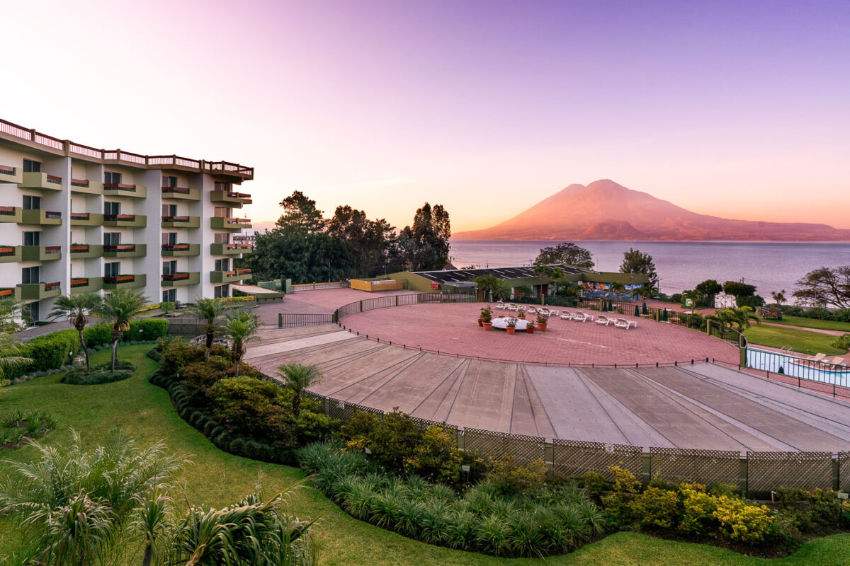
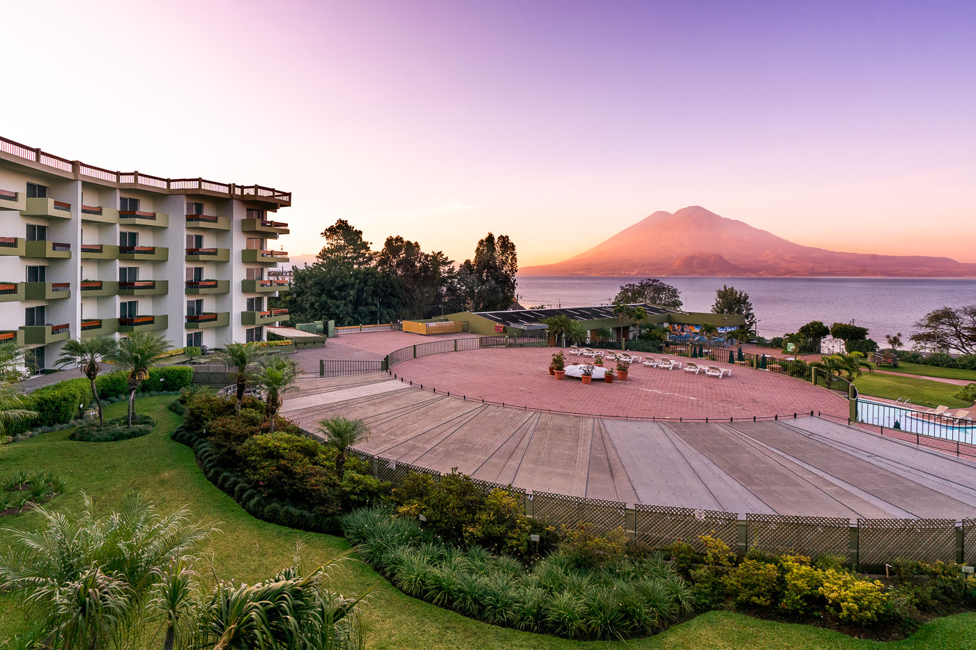
Porta Hotel del Lago waterfront resort overlooks Lake Atitlán with Volcán Atitlán rising across the water in Panajachel, Guatemala.
Porta Hotel del Lago sits on the Lake Atitlán shoreline in Panajachel, the main gateway town for travelers heading to the lake's Maya villages. Volcán Atitlán, a stratovolcano rising to 3,537 meters, anchors the lake's southern rim alongside Volcán Tolimán and Volcán San Pedro, all remnants of a caldera-forming eruption roughly 84,000 years ago. Lake Atitlán itself plunges more than 300 meters in places, making it one of the deepest lakes in Central America.
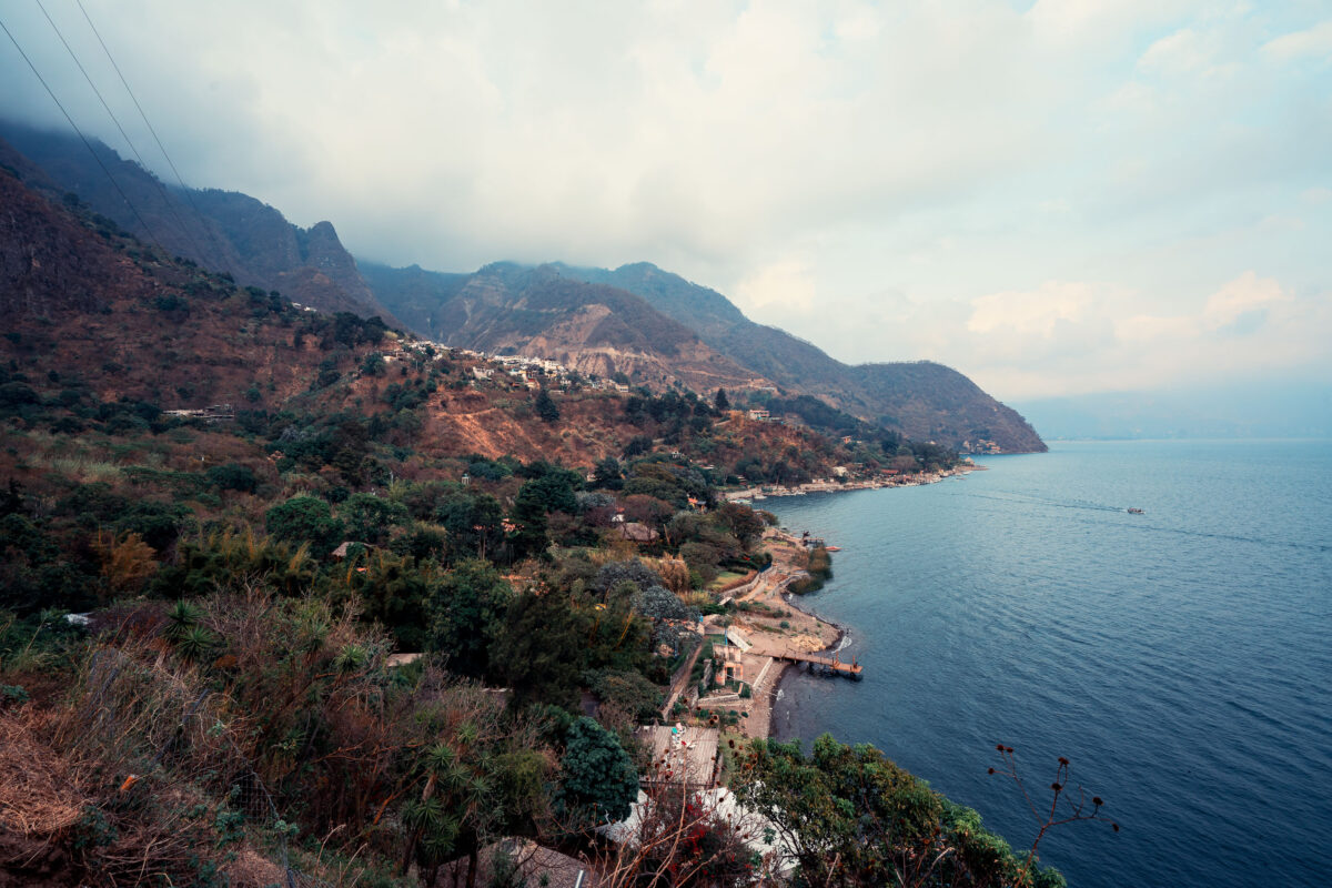
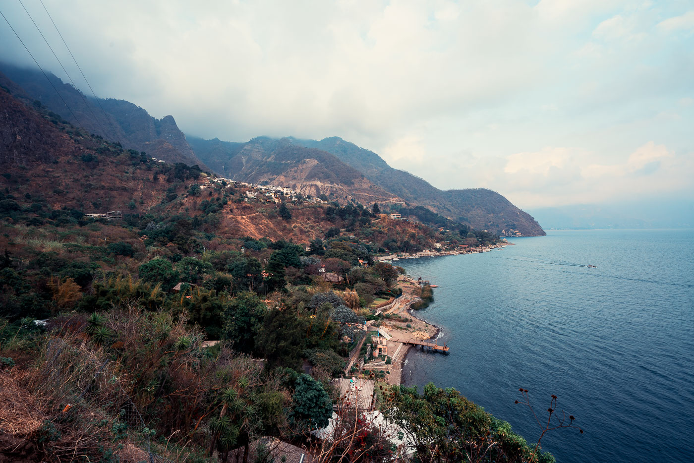
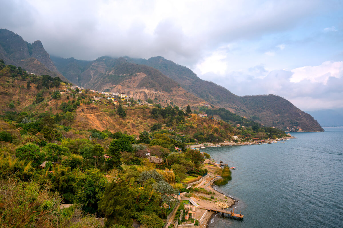
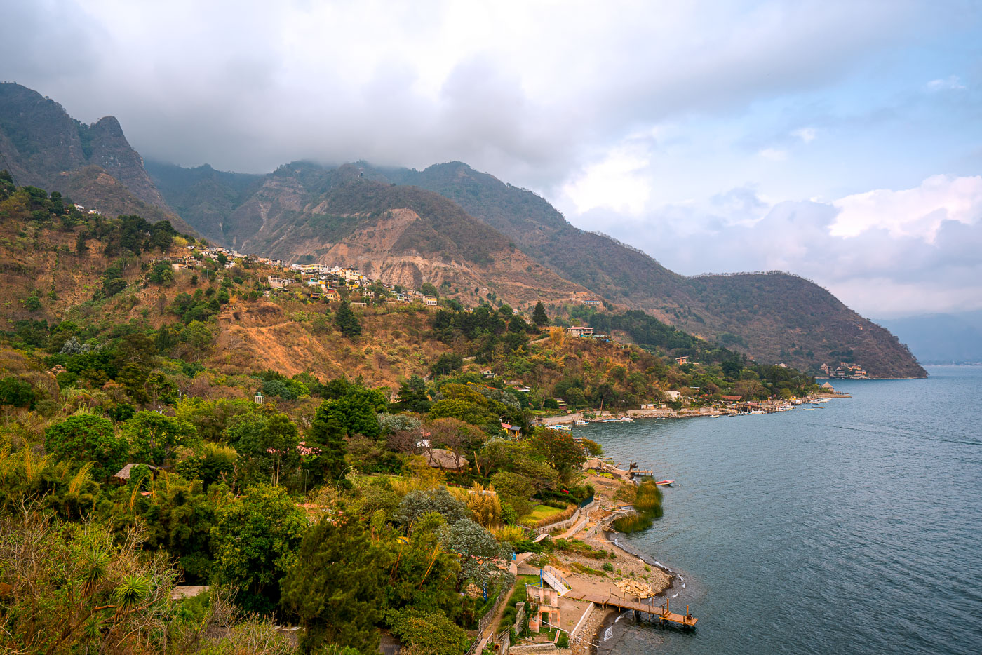
Santa Cruz La Laguna village clings to steep forested volcanic slopes above Lake Atitlán's shoreline in Guatemala with scattered homes and docks visible along the water.
Santa Cruz La Laguna sits on the northern shore of Lake Atitlán, built into terrain so steep that many homes are reachable only by footpath or boat. The lake itself fills a volcanic caldera formed roughly 84,000 years ago and reaches depths of more than 1,000 feet in places, making it one of the deepest lakes in Central America. Small docks along this stretch of coast link the village to Panajachel and other lakeshore communities, since a paved road connecting Santa Cruz to the rest of the region wasn't completed until the 2010s. The surrounding slopes are planted with coffee and corn, crops that remain central to the local Kaqchikel Maya economy.
Santa Cruz La Laguna village clings to a steep forested mountainside above Lake Atitlán in Guatemala with homes scattered across the slope and docks lining the narrow shoreline.
Santa Cruz La Laguna sits on a steep slope above the northern shore of Lake Atitlán, a volcanic crater lake in Guatemala's western highlands. The lake formed roughly 84,000 years ago after a massive eruption collapsed the caldera, leaving a basin reaching depths of more than 340 meters in places. Santa Cruz's population is largely Kaqchikel Maya, and the village has no direct road access from much of the surrounding shoreline, relying instead on boats that connect it to Panajachel and other lakeside towns. Volcán Tolimán and Volcán San Pedro rise along the lake's southern edge, part of the chain of volcanoes that ring Atitlán.
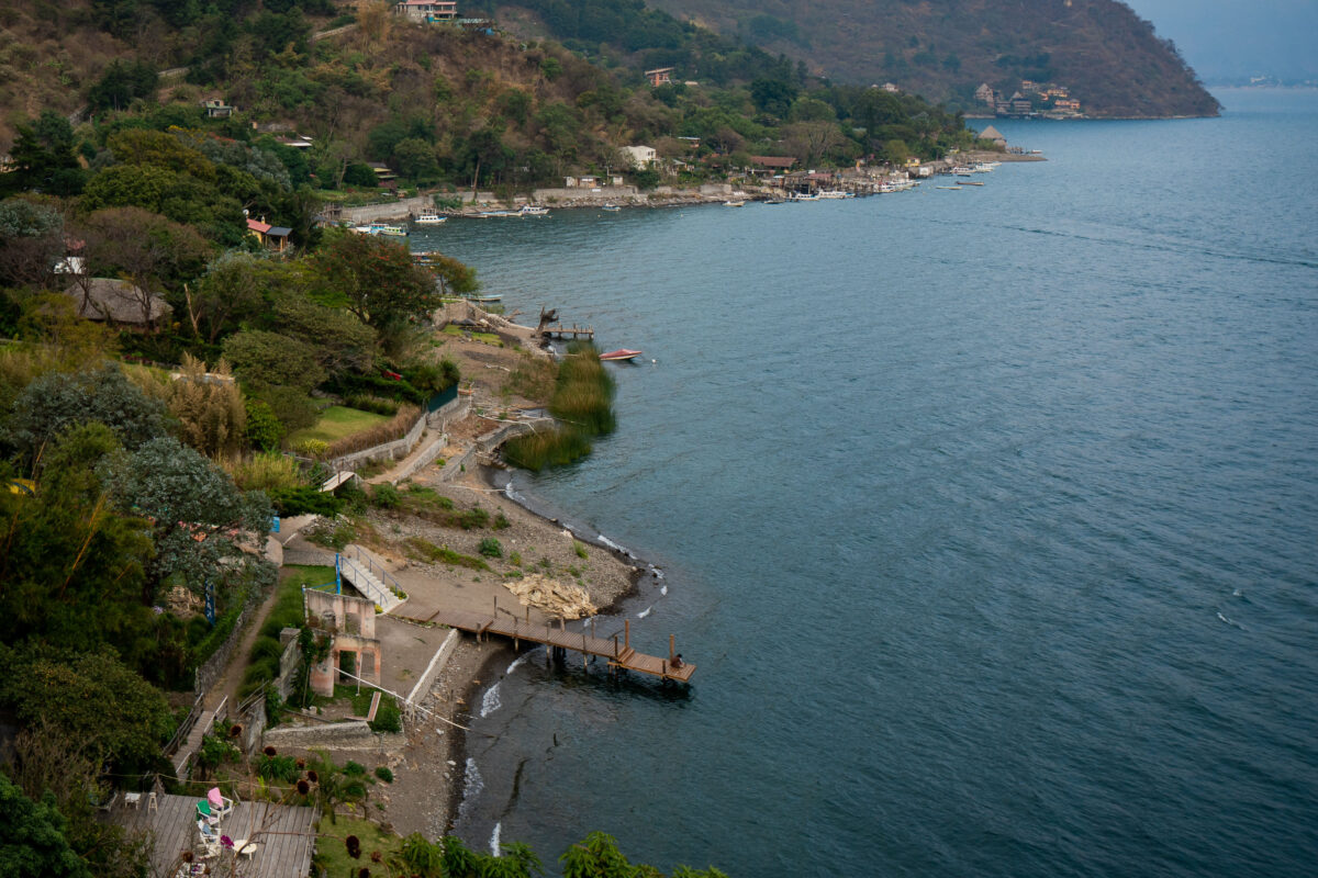
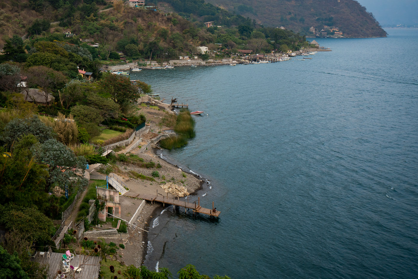
Wooden docks and lakeside properties line the steep forested shore of Lake Atitlán at Santa Cruz La Laguna, Guatemala.
Santa Cruz la Laguna sits on the northern shore of Lake Atitlán, a volcanic crater lake that drops to depths of more than 1,000 feet, making it one of the deepest lakes in Central America. Steep terrain and the absence of a paved road connecting the town to other lakeside communities have long made boats the primary means of transport here; small private docks like these the main access points for homes and guesthouses along the shore. Lanchas, the shared motorboats common across the lake, still carry most residents and visitors between Santa Cruz and towns such as Panajachel and San Pedro la Laguna.
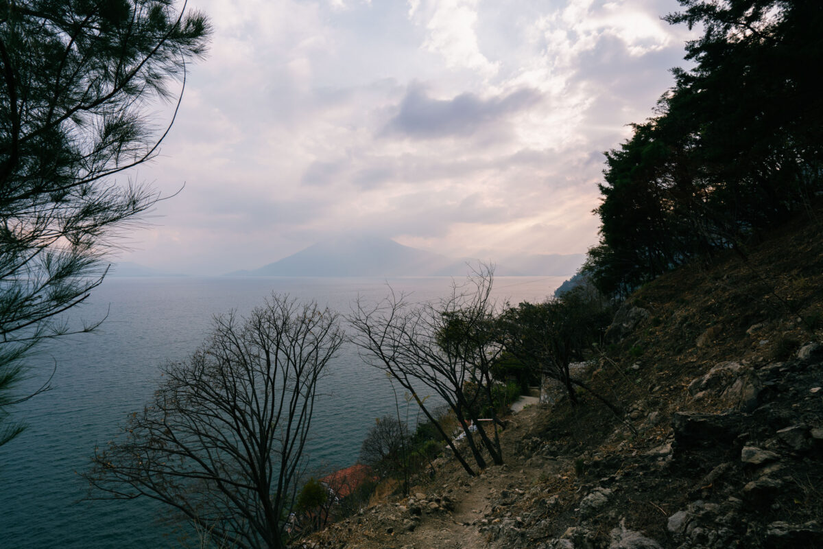
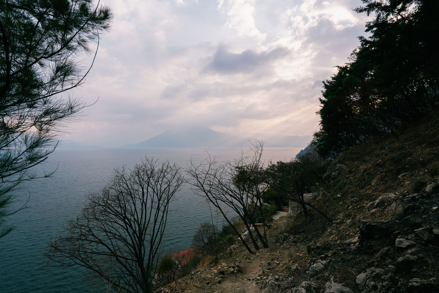
Lakeside trail winds along a forested shoreline above Lake Atitlán with Volcán Atitlán visible across the water in Guatemala.
Santa Cruz La Laguna sits on the northern shore of Lake Atitlán, a lake formed within a volcanic caldera that collapsed roughly 84,000 years ago. The village is accessible mainly by boat or footpath, since the steep terrain around this part of the shoreline has limited road construction. Volcán Atitlán, one of three volcanoes ringing the lake, rises to about 11,600 feet on the opposite shore. Lake Atitlán itself reaches depths of more than 1,000 feet, making it one of the deepest lakes in Central America.
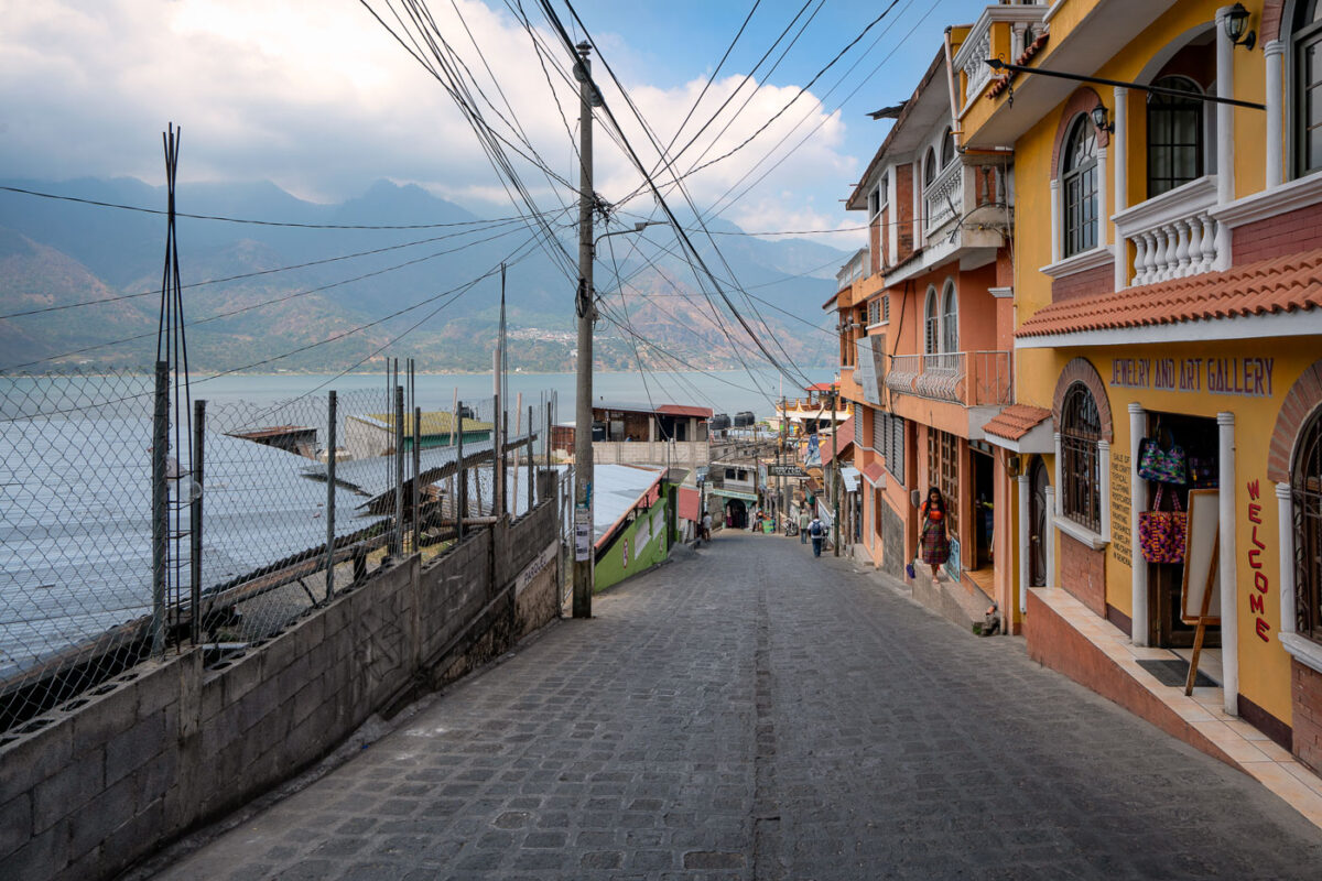
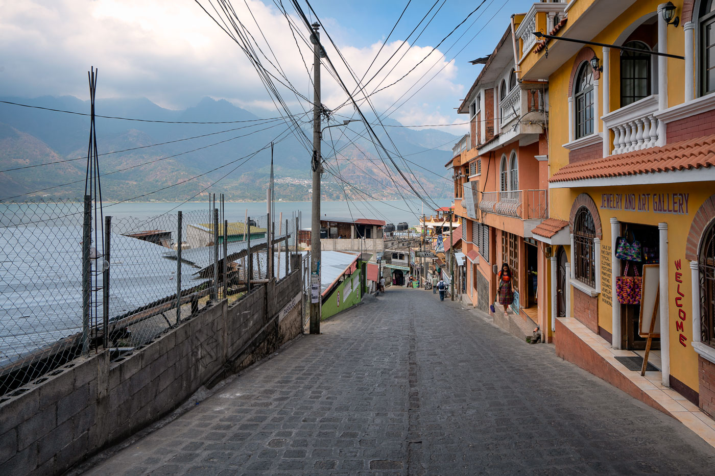
Colorful colonial buildings line a steep cobblestone street descending to Lake Atitlán in San Pedro La Laguna, Guatemala, with mountains visible across the water.
San Pedro La Laguna sits on the southwestern shore of Lake Atitlán, below the twin peaks of Volcán San Pedro. The town's steep, cobbled streets run directly down to the water, linking the lakeshore docks with shops and guesthouses built up the hillside. Many of these streets have no vehicle access beyond tuk-tuks, so pedestrians share the cobblestones with motorbikes and foot traffic headed to and from the boat landings. San Pedro has long drawn visitors for its lake views and Maya Tz'utujil culture, and storefronts selling jewelry, textiles, and local artwork line several of its central blocks.
Volcán San Pedro rises above Lake Atitlán in Guatemala's western highlands with clouds gathering around its cone.
Volcán San Pedro rises 3,020 meters above Lake Atitlán on the lake's southwestern shore, near the town of San Pedro La Laguna. The volcano is dormant and draws hikers who climb a marked trail to its summit for views across the caldera. Lake Atitlán itself formed roughly 84,000 years ago after a massive volcanic eruption collapsed the magma chamber beneath it, leaving a basin that in places reaches depths of more than 300 meters. Small motorized boats remain the primary way to travel between the lake's dozen or so Maya villages, since few roads connect them directly.
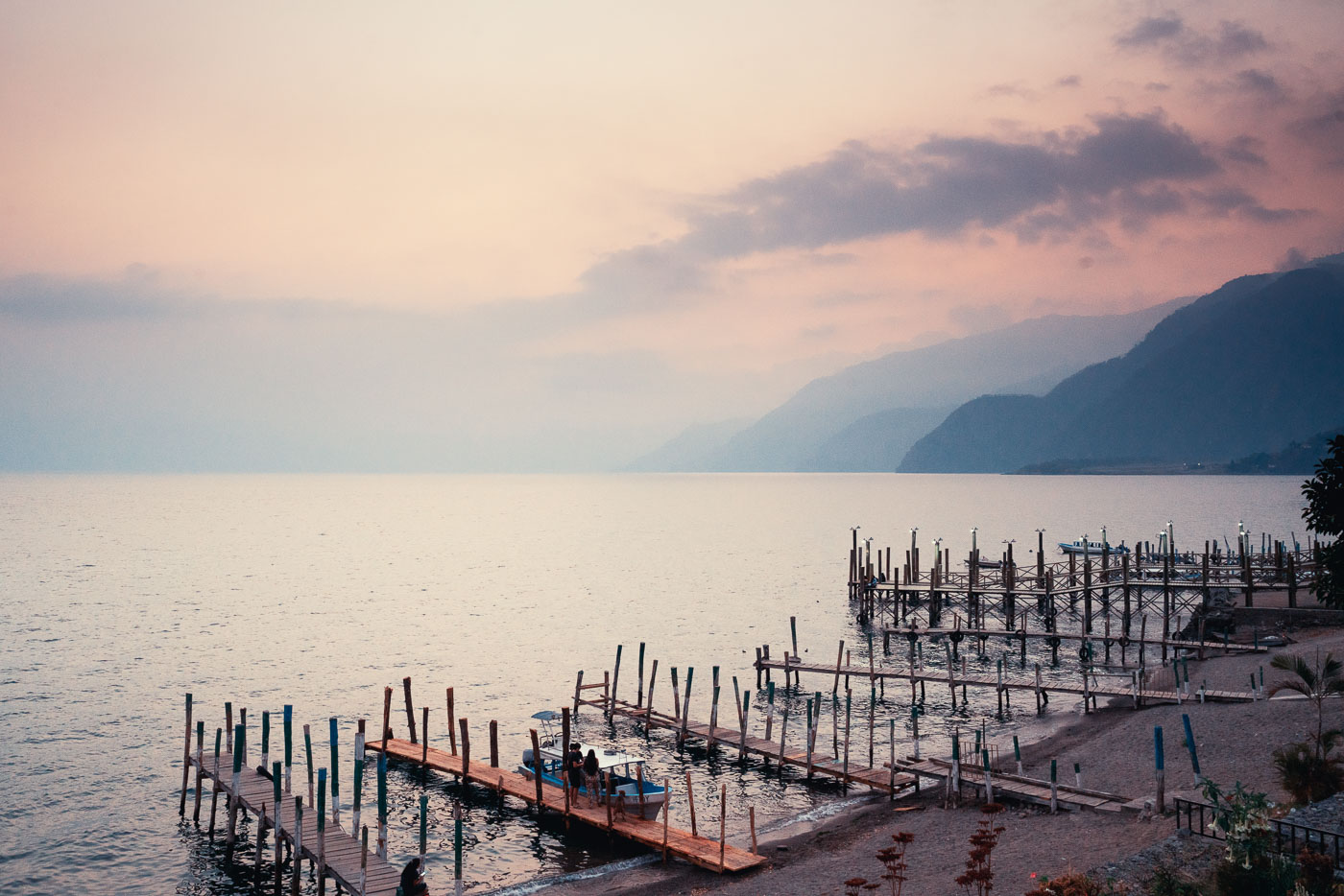
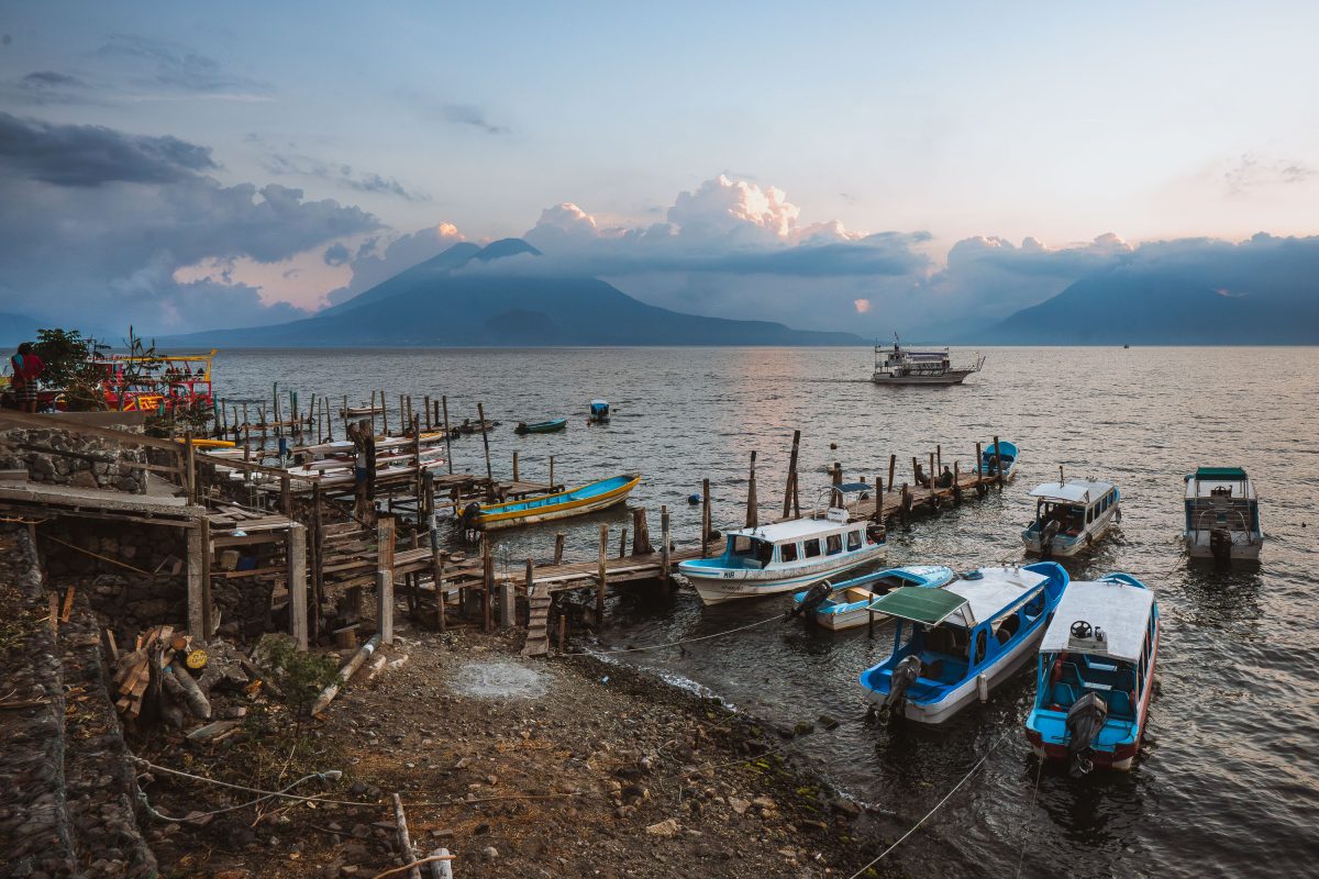
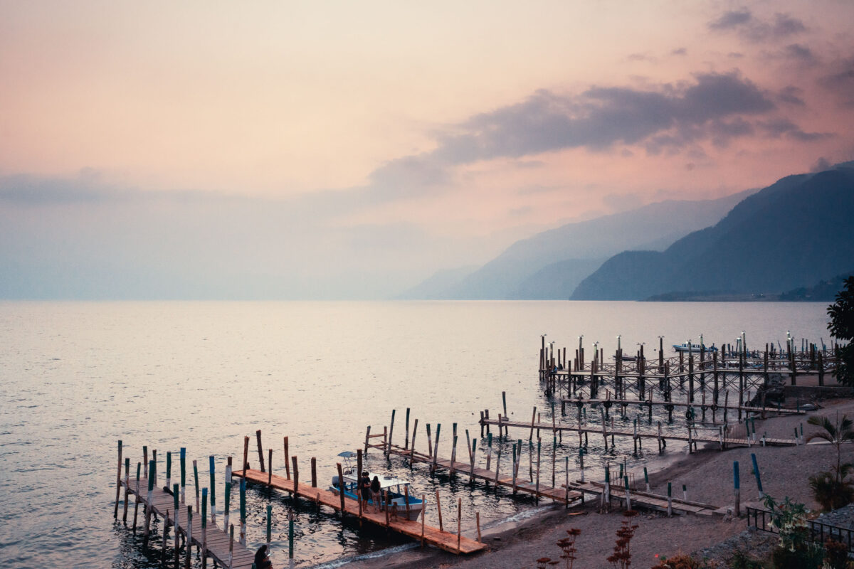
Wooden boat piers extend into Lake Atitlán at Panajachel, Guatemala, with volcanic mountains silhouetted across the water at dusk.
Lake Atitlán fills a volcanic caldera formed some 84,000 years ago and plunges to roughly 340 meters at its deepest point, making it one of the deepest lakes in Central America. Panajachel, on the lake's northern shore, serves as the main gateway town for visitors and locals alike, and its piers are where lanchas — the small motorboats that public transport — depart for villages such as Santiago Atitlán, San Pedro La Laguna, and Santa Cruz La Laguna. No roads fully encircle the lake, so these boats remain the primary link between many communities. The volcanoes San Pedro, Tolimán, and Atitlán rise along the lake's southern edge, visible across the water from these docks.
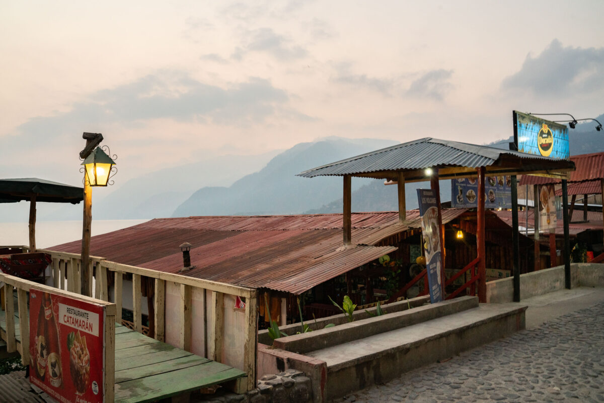
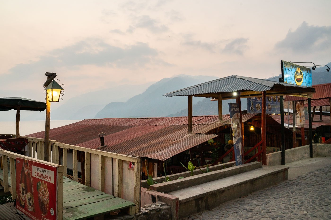
Restaurante Catamarán, a lakeside restaurant in Panajachel Guatemala, sits along Lake Atitlán's shore with volcanic mountains rising across the water.
Restaurante Catamarán sits on the Panajachel waterfront, where the town meets Lake Atitlán. The lake itself formed in a volcanic caldera roughly 84,000 years ago and is now ringed by three volcanoes — Atitlán, Tolimán, and San Pedro — visible across the water from the shoreline strip of restaurants and docks. Panajachel developed as the main lake access point for travelers and remains the primary departure hub for boats connecting the lake's villages.
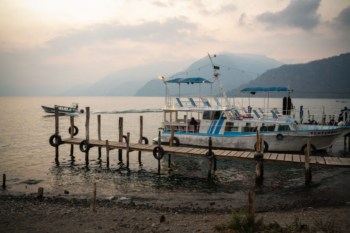
Fishing and passenger boats dock at a wooden pier on Lake Atitlán in Panajachel, Guatemala, with volcanic mountains rising across the water.
Lake Atitlán fills a caldera left by a massive volcanic eruption roughly 84,000 years ago, and today it reaches depths of over 300 meters, making it one of the deepest lakes in Central America. Panajachel serves as the main launch point for passenger boats connecting lakeside towns such as Santiago Atitlán, San Pedro La Laguna, and Santa Cruz La Laguna, few of which have reliable road access. The volcanoes visible across the water—Atitlán, Tolimán, and San Pedro—ring the lake's southern shore and remain active or dormant cones tied to the same volcanic system that formed the basin. Wooden piers like this one are rebuilt seasonally, as the lake's water level fluctuates significantly from year to year with rainfall and underground drainage patterns that scientists still don't fully understand.
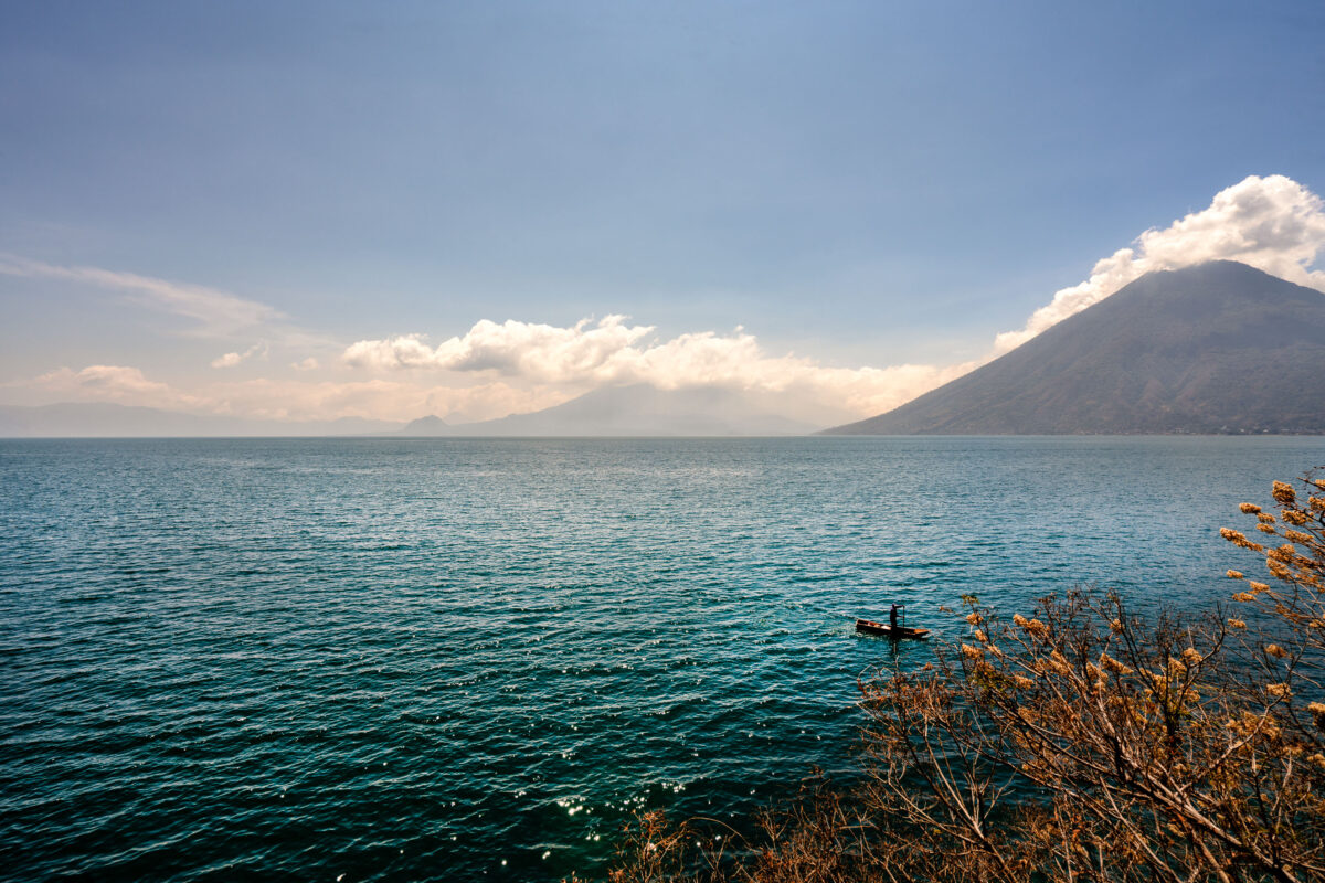
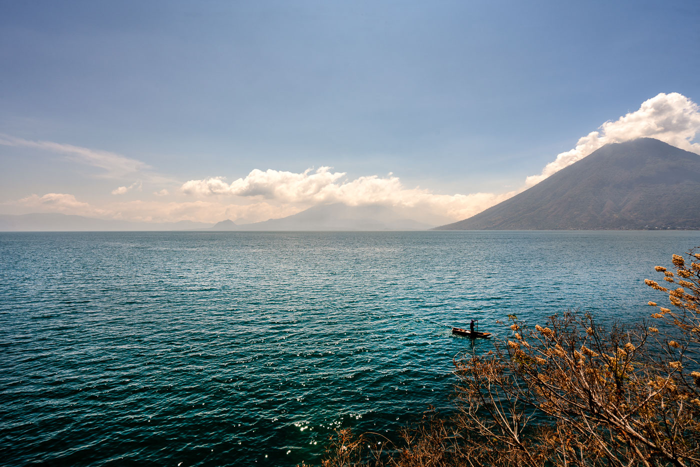
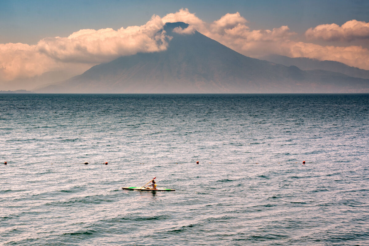
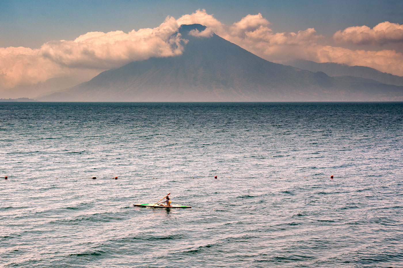
Kayaker paddles across Lake Atitlán with Volcán Atitlán rising cloud-shrouded beyond the water in Guatemala.
Lake Atitlán fills a volcanic caldera in the Guatemalan Highlands, formed by an eruption roughly 84,000 years ago. The lake reaches depths of more than 300 meters, making it one of the deepest in Central America. Volcán Atitlán, one of three volcanoes ringing the lake, rises to about 3,535 meters along its southern shore. Towns around the lake, including Panajachel and San Pedro La Laguna, rely on its waters for fishing, transport, and tourism.
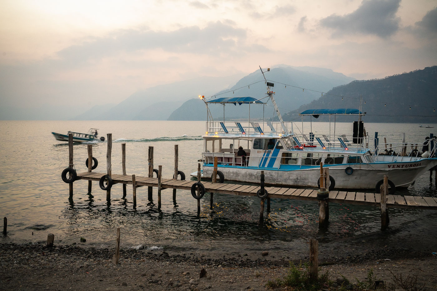
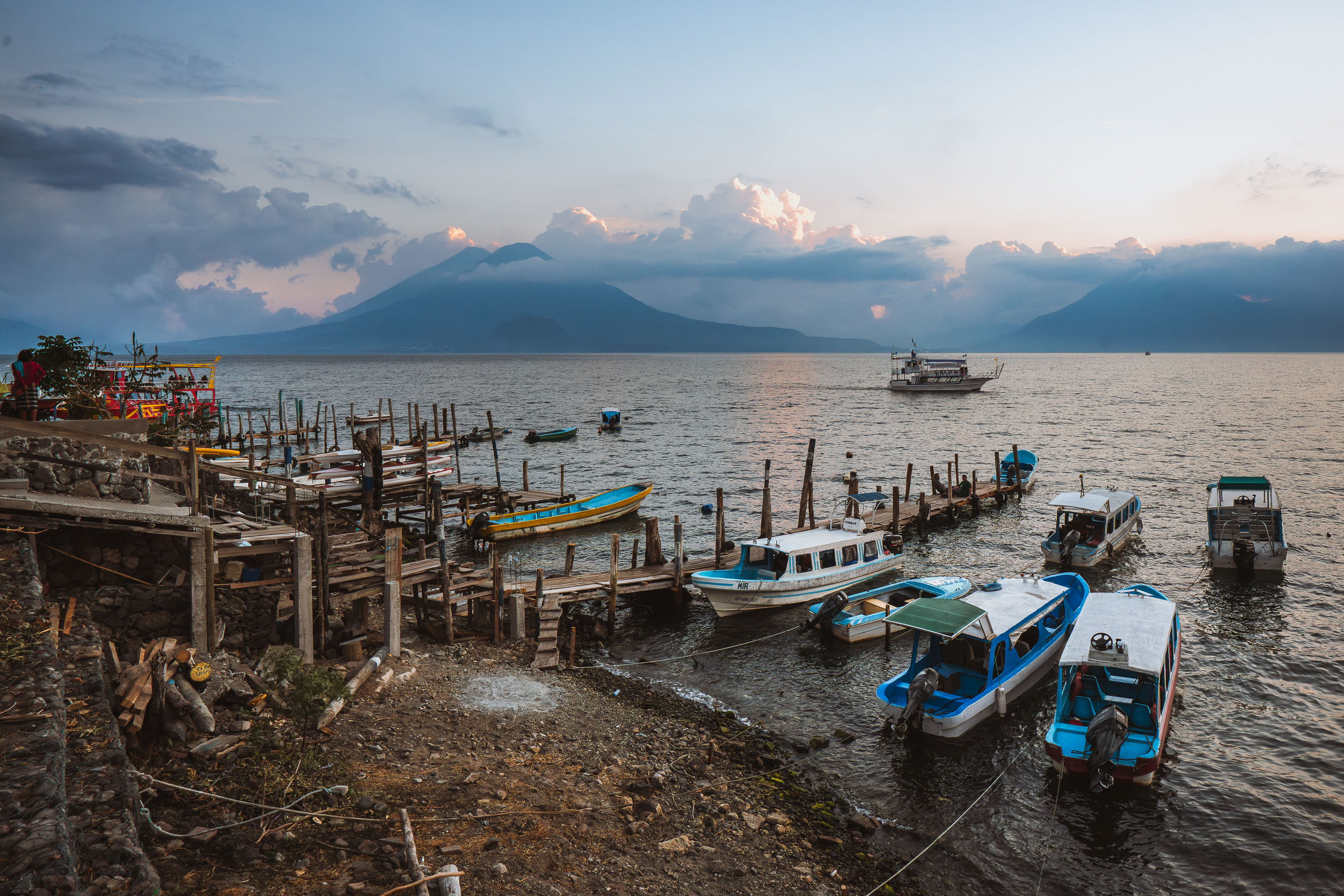
Fishing boats and ferries dock at a wooden pier on Lake Atitlán in Panajachel, Guatemala, with volcanic peaks rising across the water at dusk.
Lake Atitlán fills a volcanic caldera in Guatemala's western highlands, formed by a massive eruption roughly 84,000 years ago. At more than 320 meters deep in places, it ranks among the deepest lakes in Central America. Panajachel, on the lake's northern shore, serves as the main gateway for boat travel to surrounding Maya towns such as San Pedro la Laguna, San Juan la Laguna, and Santiago Atitlán, since no road circles the entire lake. The volcanoes San Pedro, Tolimán, and Atitlán rise along the southern shoreline, dominating views from the Panajachel docks. Public and private lanchas departing here remain the primary transport link for both residents and visitors moving between lakeside communities.
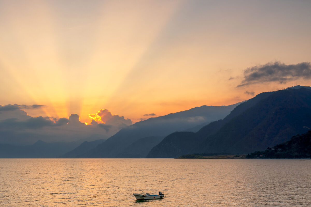
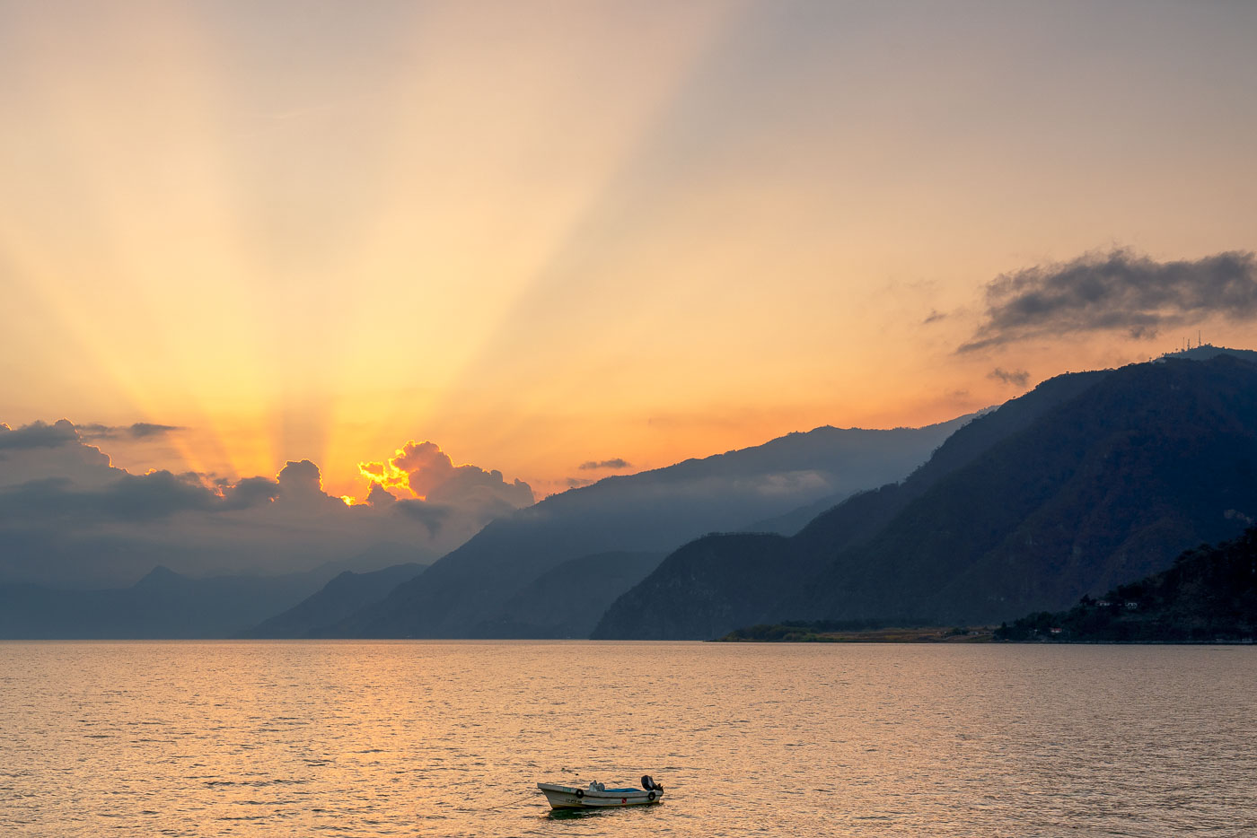
A small fishing boat sits on Lake Atitlán near Panajachel, Guatemala, as the sun sets behind forested volcanic mountains.
Lake Atitlán fills a volcanic caldera in Guatemala's western highlands, formed by an eruption roughly 84,000 years ago that ranks among the largest in Earth's history. At about 1,949 feet deep, it's one of the deepest lakes in Central America, ringed by the volcanoes Atitlán, Tolimán, and San Pedro. Panajachel, on the lake's northern shore, serves as the main gateway for boats connecting to smaller towns like Santiago Atitlán and San Pedro La Laguna, since no road circles the entire lake. Aldous Huxley famously called it "the most beautiful lake in the world" after visiting in the 1930s.
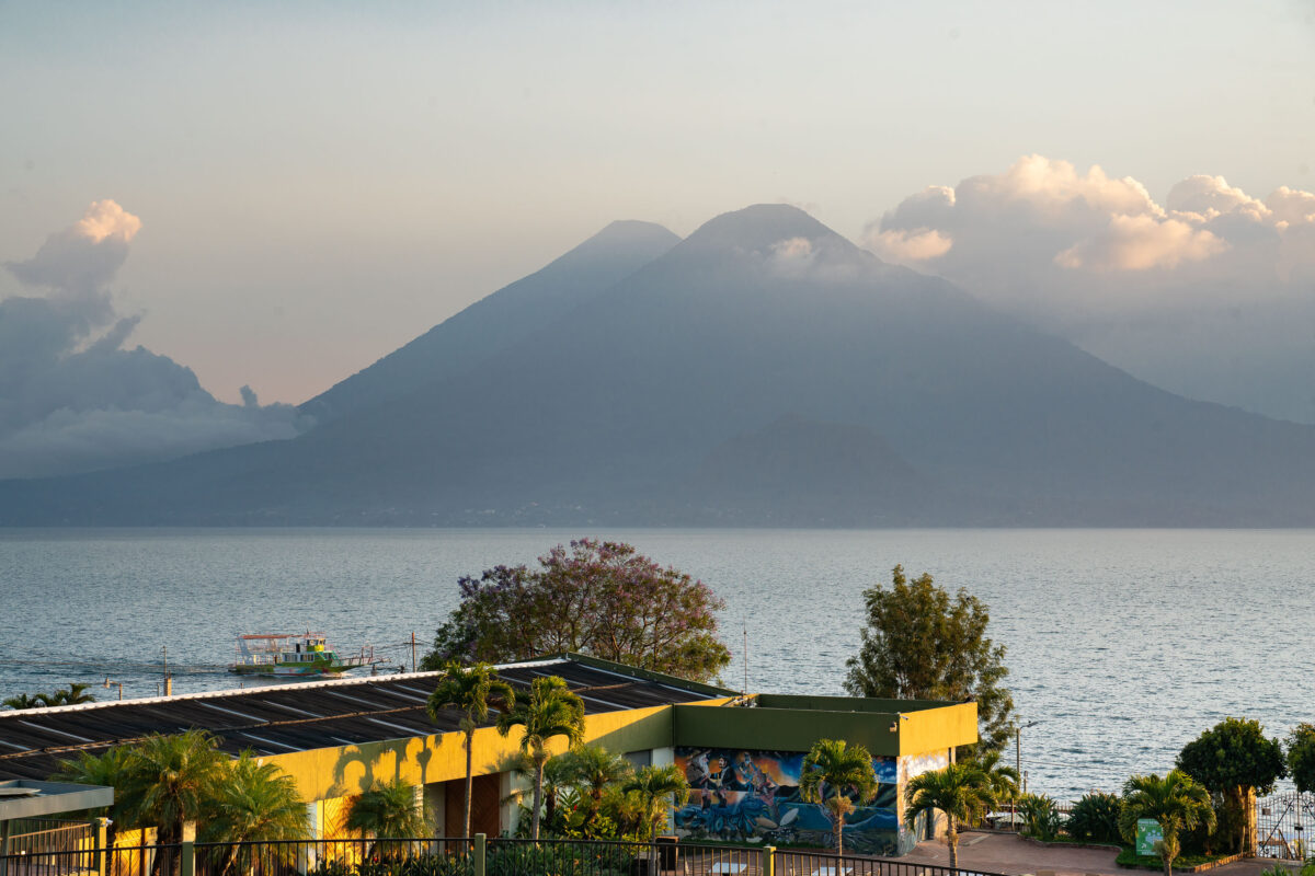
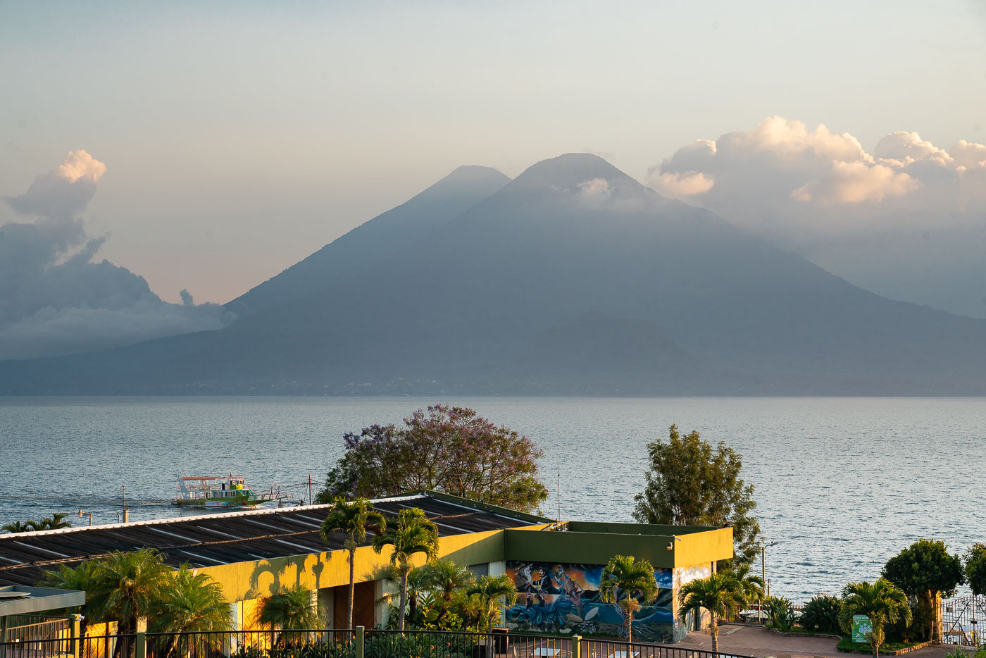
Volcán Atitlán rises above Lake Atitlán beyond the yellow-roofed Porta Hotel del Lago in Panajachel, Guatemala.
Volcán Atitlán and Volcán Tolimán rise along the southern shore of Lake Atitlán, within the boundaries of Atitlán National Park. Volcán Atitlán reaches roughly 3,535 meters, while Tolimán stands about 3,158 meters; both are considered potentially active, though eruptions are rare. The lake itself fills a caldera formed by a massive volcanic collapse tens of thousands of years ago and now reaches depths of more than 300 meters. Panajachel, on the lake's northern shore, functions as the main gateway for boat travel to lakeside towns such as Santiago Atitlán and San Pedro la Laguna.

Built in Minneapolis

Minneapolis Photographer

Browse by location, move through long-running series, or start with recent work.