Place Archive
Guanacaste Coast
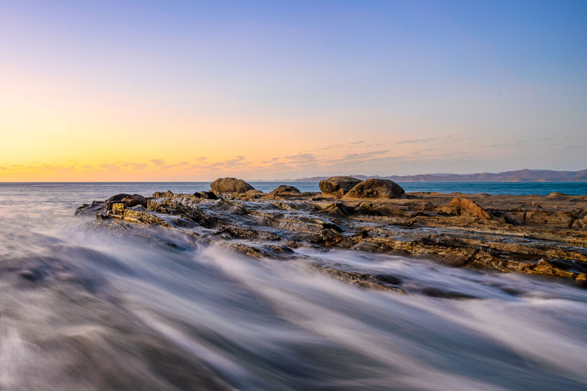
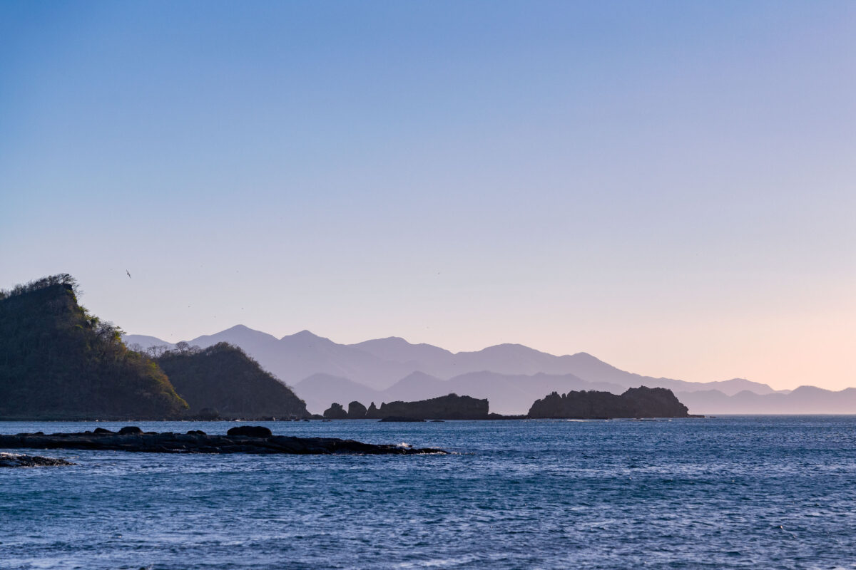
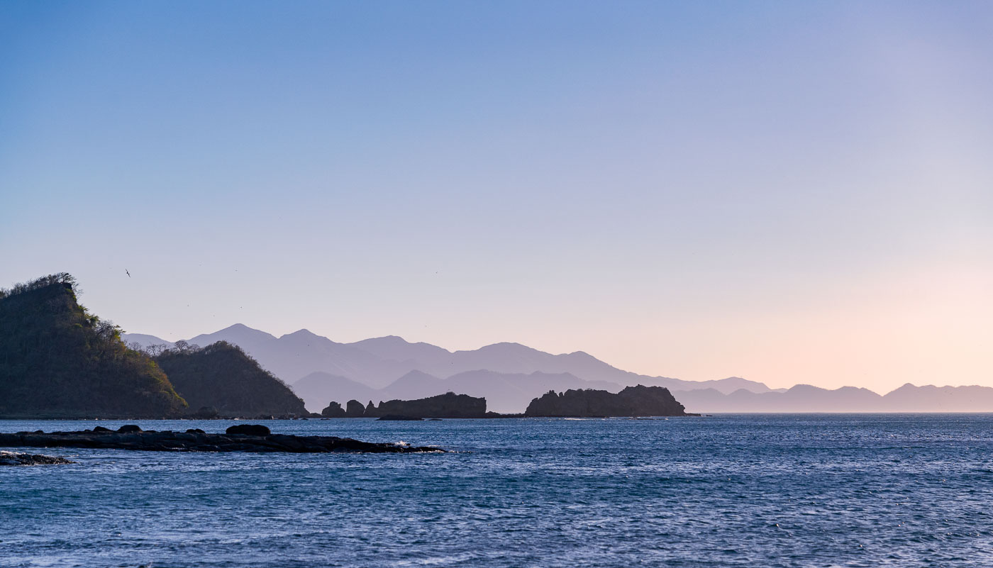
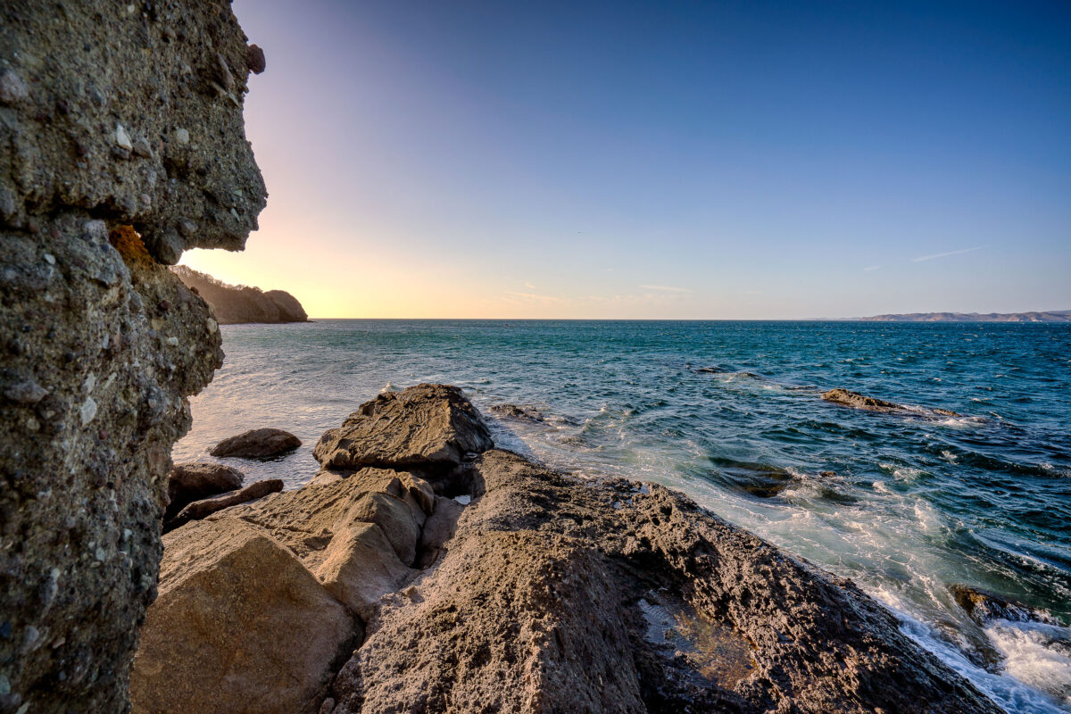
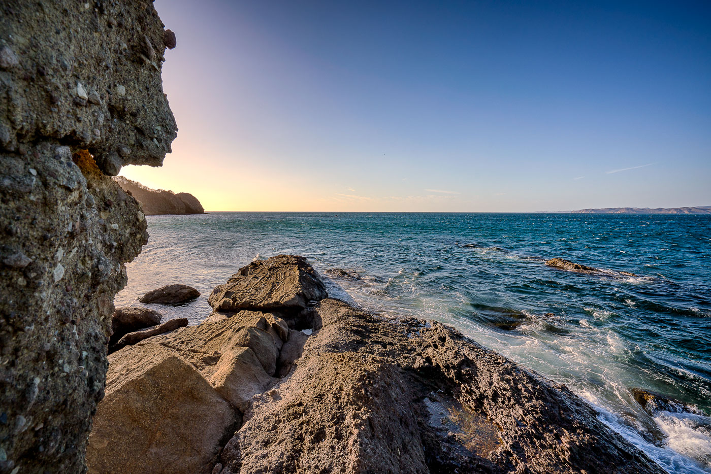
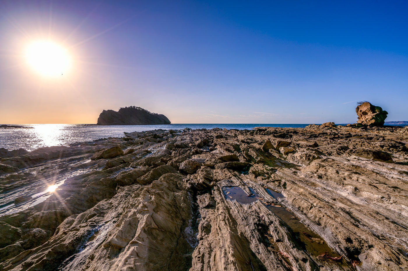
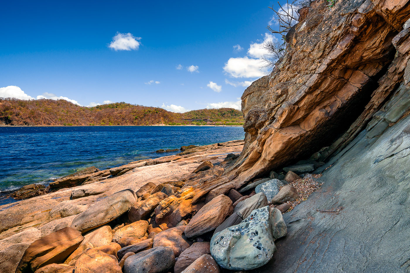
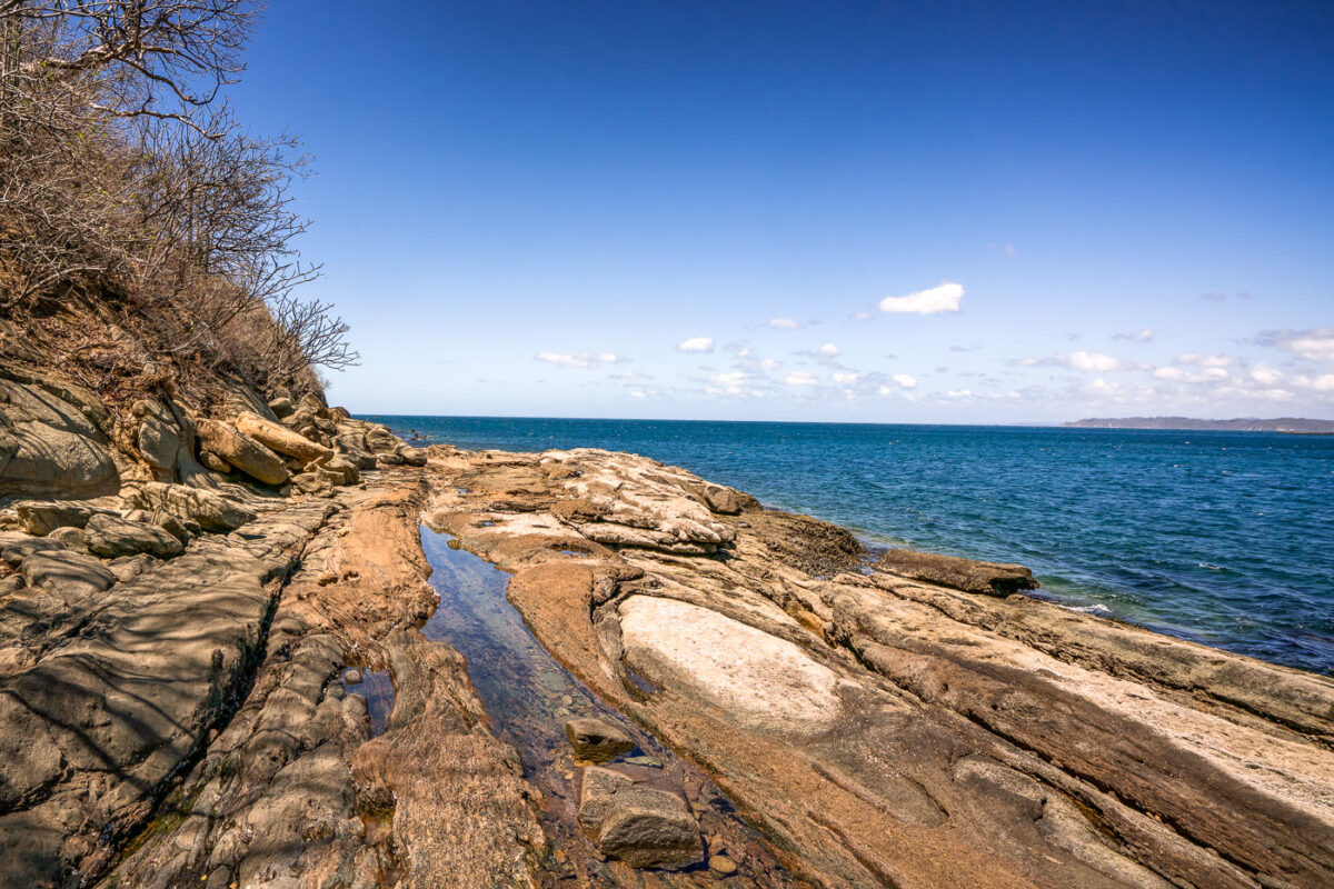
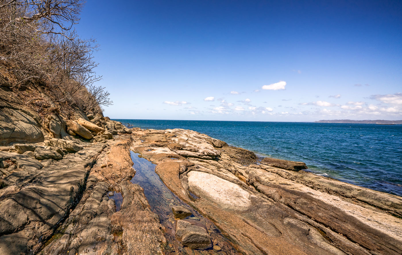
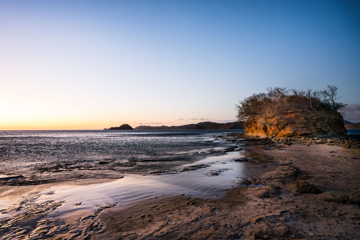
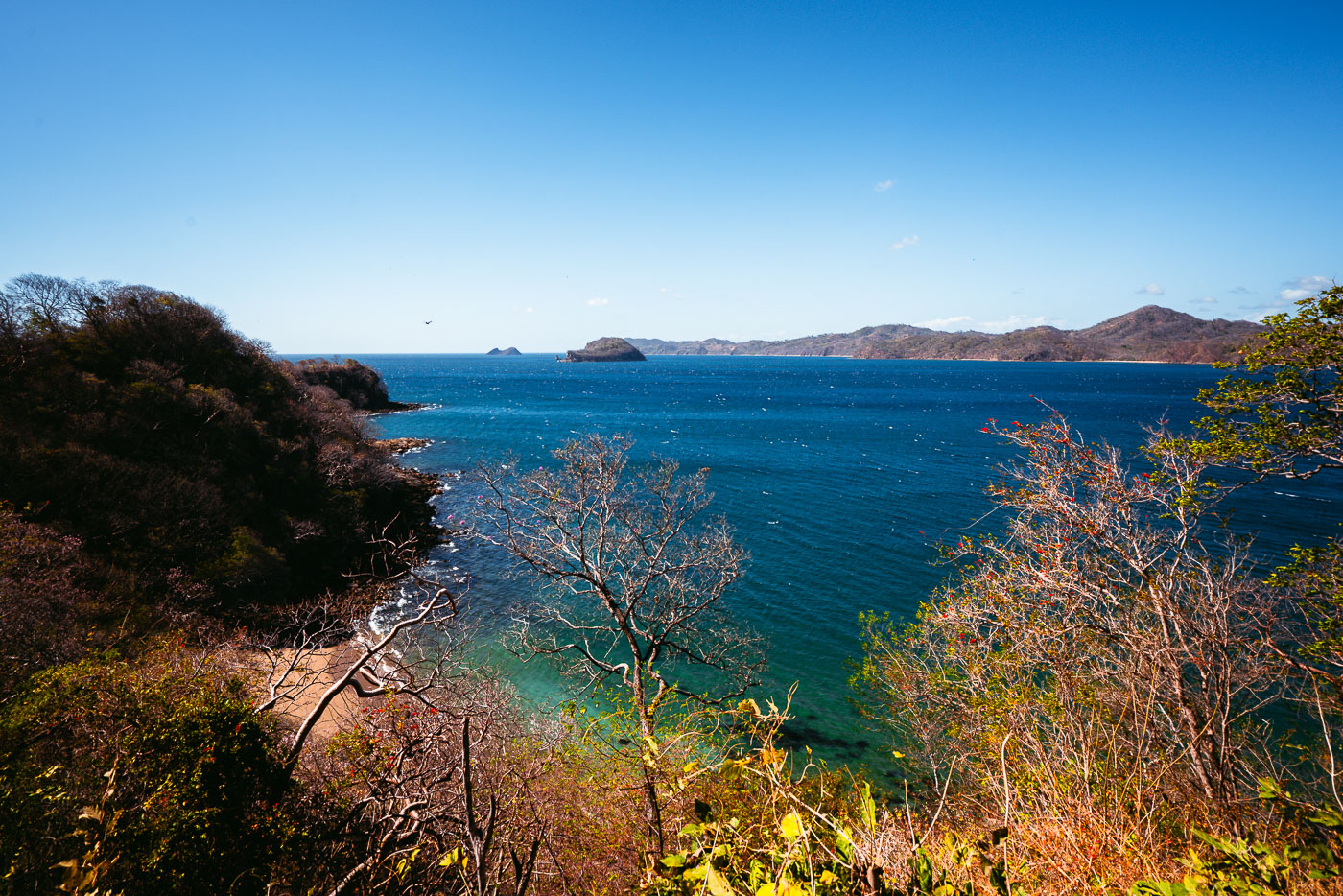
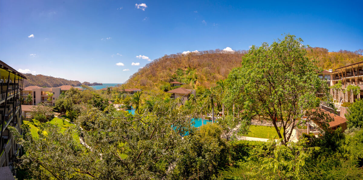
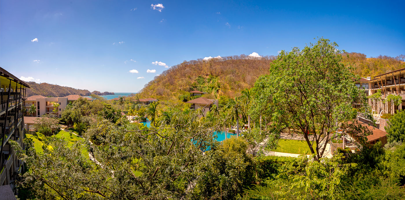
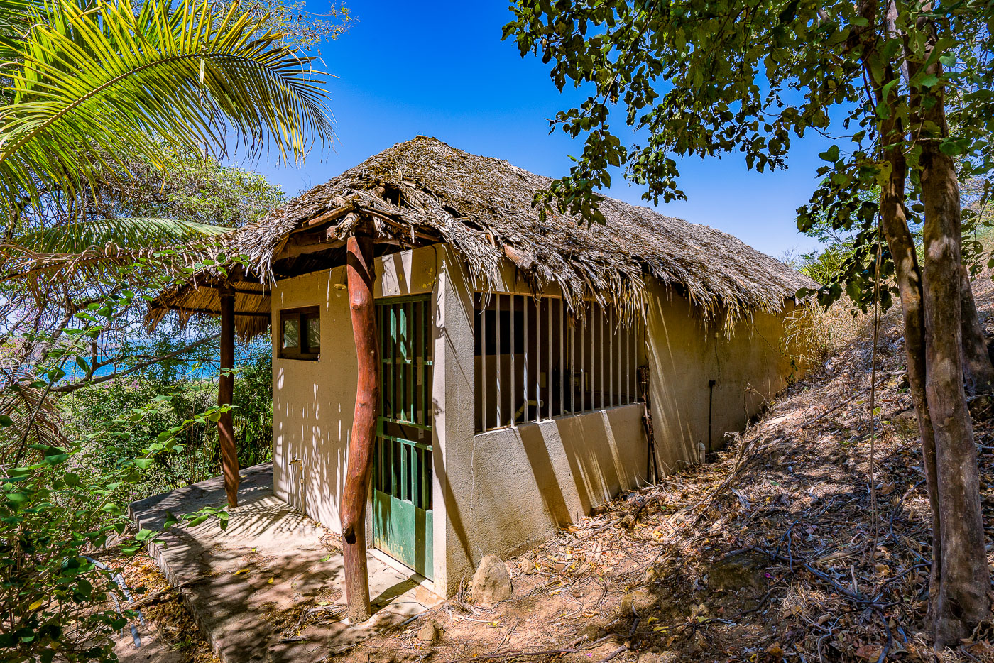
The Guanacaste Coast features rugged rocky shorelines such as those at Playa Escondida and Jobo Bay, where tidal pools and volcanic formations meet the Pacific Ocean. Nearby, abandoned structures like the Santa Elena Resort hut at El Jobo contrast with newer developments like the Dreams Las Mareas Resort, reflecting shifts in the region’s economic and environmental landscape.
Photos from Guanacaste Coast


