
Map
More from Superior National Forest

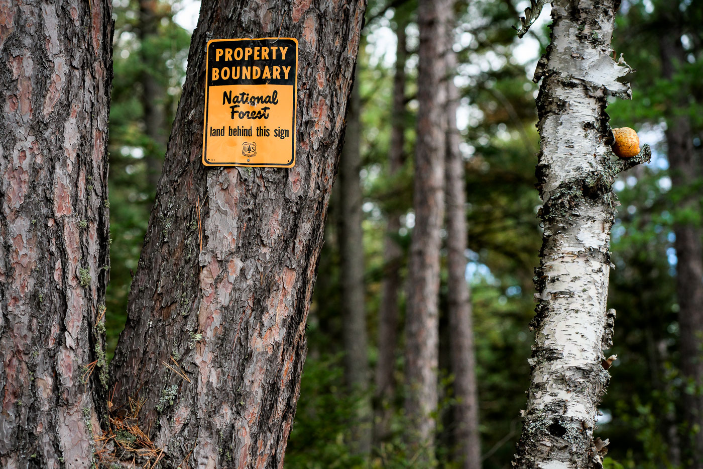
Snowmobile Trail Sign in Stony River Township
An aging “Snowmobile Trail” sign stands along a forested route in Stony River Township in northern Minnesota, an area threaded…

Little Isabella River Campground, Superior National Forest
Little Isabella River Campground in Superior National Forest is shown on a Forest Service information board. The sign lists campground…
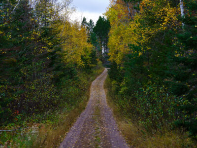
Timber Frear Loop, Superior National Forest, Minnesota
A dirt road winds through the Timber Frear Loop in Minnesota's Superior National Forest during autumn. The path is covered…

Superior National Forest Road in Autumn, Minnesota
A gravel road winds through the Superior National Forest in northern Minnesota during autumn. This forest, established in 1932, encompasses…

Superior National Forest, Minnesota: Forest Floor Detail
The Superior National Forest in Minnesota is a vast protected area known for its extensive boreal forests and numerous lakes.…

South Kawishiwi River near Ely, Minnesota
The South Kawishiwi River near Ely, Minnesota. Forest region of northeastern Minnesota, where calm water and low fog are common…
Nearby Photos


